
News Summary
A new weather wave is emerging off the African coast, with a 60% chance of developing into a tropical depression this week. While models differ in intensity predictions, the system is expected to stay clear of the U.S. coastline. Additionally, Invest 93-L in the Gulf of Mexico poses no immediate threat to Tampa Bay but has caused heavy rain and flooding. Residents should stay informed as the hurricane season heats up. The next named storm will be Dexter, and Tropical Storm Fernand is also being monitored offshore.
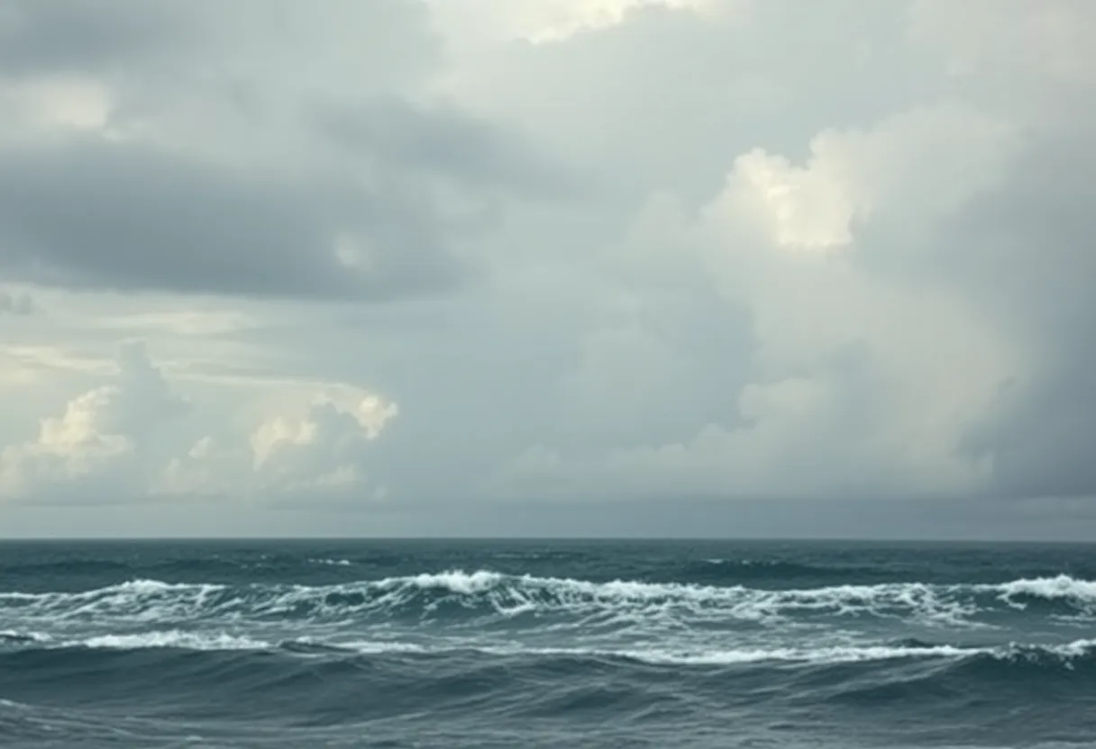
Tampa, FL – The tropics are experiencing a cautious phase as a new weather wave transitions off the African coast with a 60% chance of development within the next week. The wave has the potential to evolve into a tropical depression by the end of the week, but forecasts vary significantly regarding its intensity and trajectory.
The wave is expected to be guided westward by the expansion of the Bermuda high in the Atlantic. Weather models differ in their predictions; the European model anticipates minimal strengthening, suggesting that any potential storms will remain offshore. Conversely, the GFS model indicates that the wave could develop into a tropical depression or storm by the weekend, yet it too expects the system to stay away from the U.S. coastline.
As the peak of hurricane season approaches, weather teams will continue extensive monitoring of the tropics. In addition to this developing wave, the National Hurricane Center is actively tracking Invest 93-L, a system located in the Gulf of Mexico. This system currently poses no immediate threats to the Tampa Bay area but is causing heavy rain and flash flooding in the northern Gulf Coast. Invest 93-L is migrating inland over southeastern Louisiana, leading to disorganized showers and thunderstorms mainly positioned west and southwest of its center.
This system is also responsible for severe storms in the Tampa Bay region earlier this week, which caused flooded roads, toppled trees, and prompted an evacuation at Tampa International Airport. However, the development potential for Invest 93-L has decreased significantly, with current formation chances at just 10% over the next 48 hours and only 7% over the upcoming week.
Rainfall and flash flooding are anticipated to persist across southeastern Louisiana, Mississippi, and Alabama through Friday. As for the next named storm in the Atlantic, it will be called Dexter, which is expected to drift away from U.S. territories.
Furthermore, Tropical Storm Fernand is positioned approximately 500 miles southeast of Bermuda, featuring sustained winds of 40 mph and moving north-northeast at 15 mph, with forecasts indicating it will maintain its trajectory offshore.
In addition to Invest 93-L, another system, Invest 99L, is generating attention as it makes its way about 200 miles east of the Windward Islands. This system shows medium chances for development and is shifting west into the Caribbean, bringing gusty winds and heavy rainfall across the Windward and Leeward Islands.
As the National Hurricane Center observes ongoing developments, it also notes a weak surface trough off the southeastern U.S. coastline that could potentially develop into a low-pressure system, with a chance of becoming a tropical depression late this week or over the weekend. Current formation probabilities for this developing system stand at 0% over the next 48 hours and increase to 30% within 7 days.
Additionally, another tropical wave, referred to as Invest 96-L, is situated over the eastern Atlantic. It is producing disorganized shower activity with a development chance of 20% over the next 48 hours, increasing to 60% over the forthcoming week.
As these weather systems evolve, residents along coastal areas should stay informed and prepared for any changes in predictions as the hurricane season continues to intensify.
Deeper Dive: News & Info About This Topic
HERE Resources
Florida Governor Announces $1 Billion Investment in Howard Franklin Bridge
Hurricane Erin Threatens Florida and East Coast
Hurricane Erin Misses East Coast but Brings Dangerous Conditions
Hurricane Erin Becomes Category 3 Storm in Atlantic
Hurricane Erin Triggers Tropical Storm Watch in Outer Banks
Tampa Bay Reflects on Hurricane Debby One Year Later
Tropical Storm Dexter Transitions into Post-Tropical Cyclone
Central Florida Faces Extreme Heat and Weather Alerts
Tropical Development Potential Looms Over Florida
Severe Thunderstorm Warning Issued for Tampa Bay Area
Additional Resources
- WTSP: Florida Tropical Update on Dexter and Invest 93
- Wikipedia: Tropical Cyclones
- Fox 13: Two Areas to Watch in the Atlantic Basin
- Encyclopedia Britannica: Hurricane
- WTSP: Tropical Storm Erin Update
- Google Search: Hurricane Season 2023
- WTSP: Tropical Storm Dexter Hurricane Track
- Google Scholar: Tropical Storms and Their Impact
- Fox 13: Tropical Storm Fernand Forms Near Bermuda
- Google News: Florida Tropical Updates

Author: STAFF HERE TAMPA WRITER
The TAMPA STAFF WRITER represents the experienced team at HERETampa.com, your go-to source for actionable local news and information in Tampa, Hillsborough County, and beyond. Specializing in "news you can use," we cover essential topics like product reviews for personal and business needs, local business directories, politics, real estate trends, neighborhood insights, and state news affecting the area—with deep expertise drawn from years of dedicated reporting and strong community input, including local press releases and business updates. We deliver top reporting on high-value events such as Gasparilla Pirate Festival, Florida State Fair, and Tampa Riverfest. Our coverage extends to key organizations like the Tampa Bay Chamber of Commerce and United Way Suncoast, plus leading businesses in healthcare, finance, and technology that power the local economy such as BayCare Health System, Grow Financial Federal Credit Union, and KnowBe4. As part of the broader HERE network, including HEREJacksonville.com, HEREOrlando.com, HERESTPetersburg.com, and HERETallahassee.com, we provide comprehensive, credible insights into Florida's dynamic landscape.